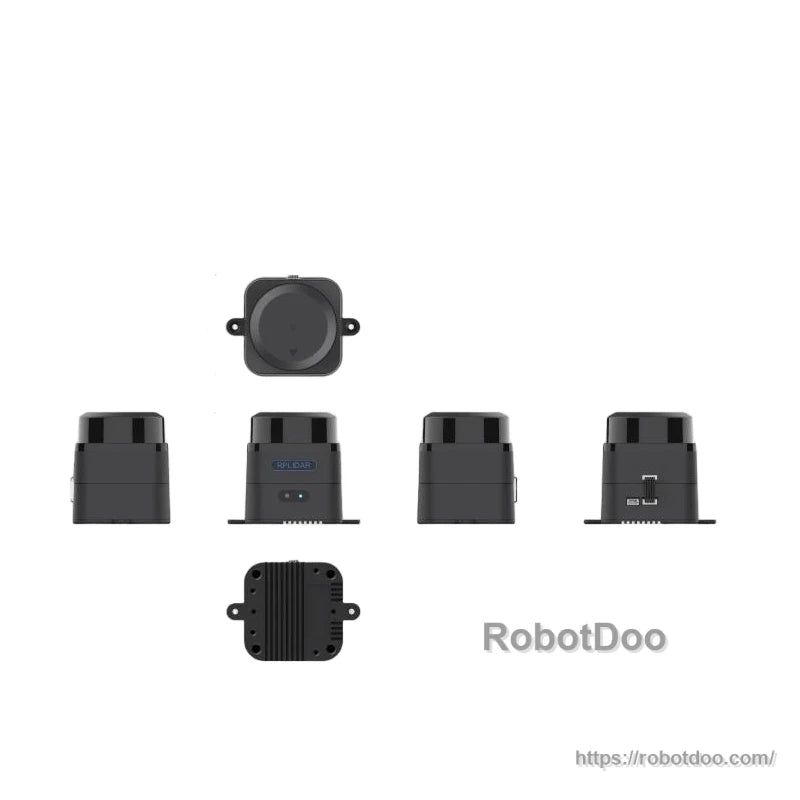
Overview
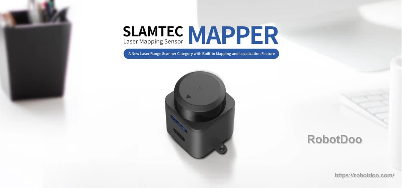
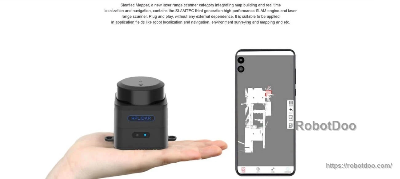
SLAMTEC Mapper M2M3 LiDAR is a laser mapping sensor that integrates map building with real-time localization and navigation. It combines a SLAMTEC third-generation high-performance SLAM engine with a laser range scanner, and is designed for plug-and-play mapping and re-localization in robotics and surveying workflows.
Key Features
- Built-in mapping and localization feature (laser mapping sensor)
- Large scenarios and high-quality mapping with SLAM graph optimization and SharpEdge™ mapping technology
- Plug and play, without any external dependence; operates with a USB power cable
- Tilting compensation and fast moving: built-in inertial navigation system with nine degrees of freedom; supports maximum moving speed of 2 m/s
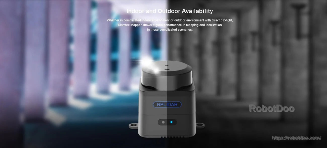
- Indoor and outdoor availability, including outdoor environments with direct daylight
- Fully compatible with ROS; cross-platform SDK and tools for phone and PC; supports RViz workflow
- Can also be used as a laser range scanner via SDK or ROS node
- Built-in WiFi (access point and station mode) and 100M Ethernet port for communication and mobile application workflows
- Compatible SLAMTEC ecosystem; multiple work modes; small size; low power; Class 1
Specifications
| Model | SLAMTEC Mapper M2M3 |
| Distance Range | 40 m |
| Sample Rate | 10 kHz |
| Maximum Area | 300 m * 300 m |
| Large working scenarios | 100,000 m² |
| Mapping resolution | 0.05 m |
| Accuracy | < 0.02 m |
| Maximum moving speed | 2 m/s |
| Maximum rotation speed | TBD |
| Graph Optimizing Working Time | About 1 hr |
| Maximum Inclination Angle | ±3° |
| Frequency of data refresh | 10 Hz |
| Laser wavelength | 895-915 nm |
| Laser power | 25 W |
| Pulse length | 5 ns |
| Laser Safety Class | IEC-60825 Class 1 |
| Power Voltage | 4.95-5.3 V |
| Power input (DC) | 5-12 V DC |
| Power Voltage Ripple | 50 mV |
| System Start Current | 1200 mA |
| Power Current | 650 mA |
| Weight | 163 g |
| Working Temperature Range | -5-45 °C |
| Network / Communication | Built-in WiFi; 100M Ethernet port |
Applications
- Robot localization and navigation
- Environment surveying and mapping
- Large-area indoor mapping and extra-large environment mapping
Manuals
Details
A compact, plug-and-play mapper designed to bring real-time localization and map building into mobile and robotic workflows.
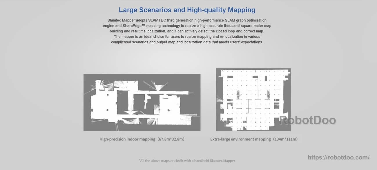
Graph optimization and SharpEdge™ mapping help produce clean, high-quality maps for both indoor and large-area environments.
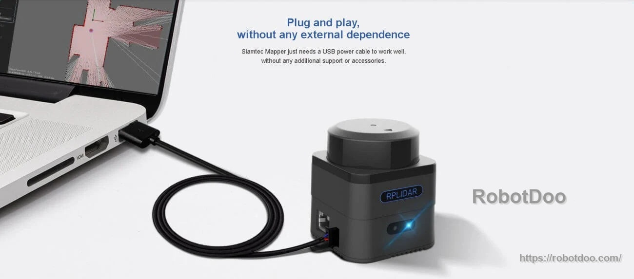
Power and connect over USB for quick setup—ideal for rapid prototyping, surveys, and field testing.
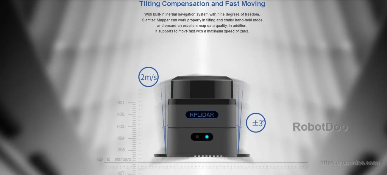
Built-in 9-DOF inertial navigation supports fast motion and tilt compensation for stable mapping on the move.
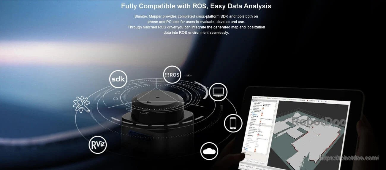
Integrates smoothly with ROS and RViz, with cross-platform SDK tools for PC and mobile development.
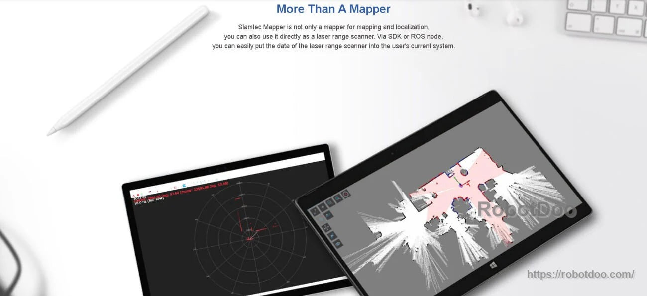
Use it as a laser range scanner through the SDK or ROS node when raw scan data is the priority.
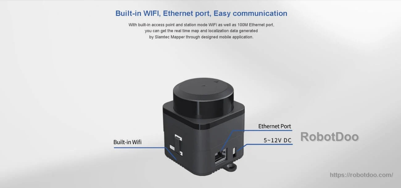
Built-in WiFi and Ethernet make it easy to stream mapping data and integrate into networked robot systems.